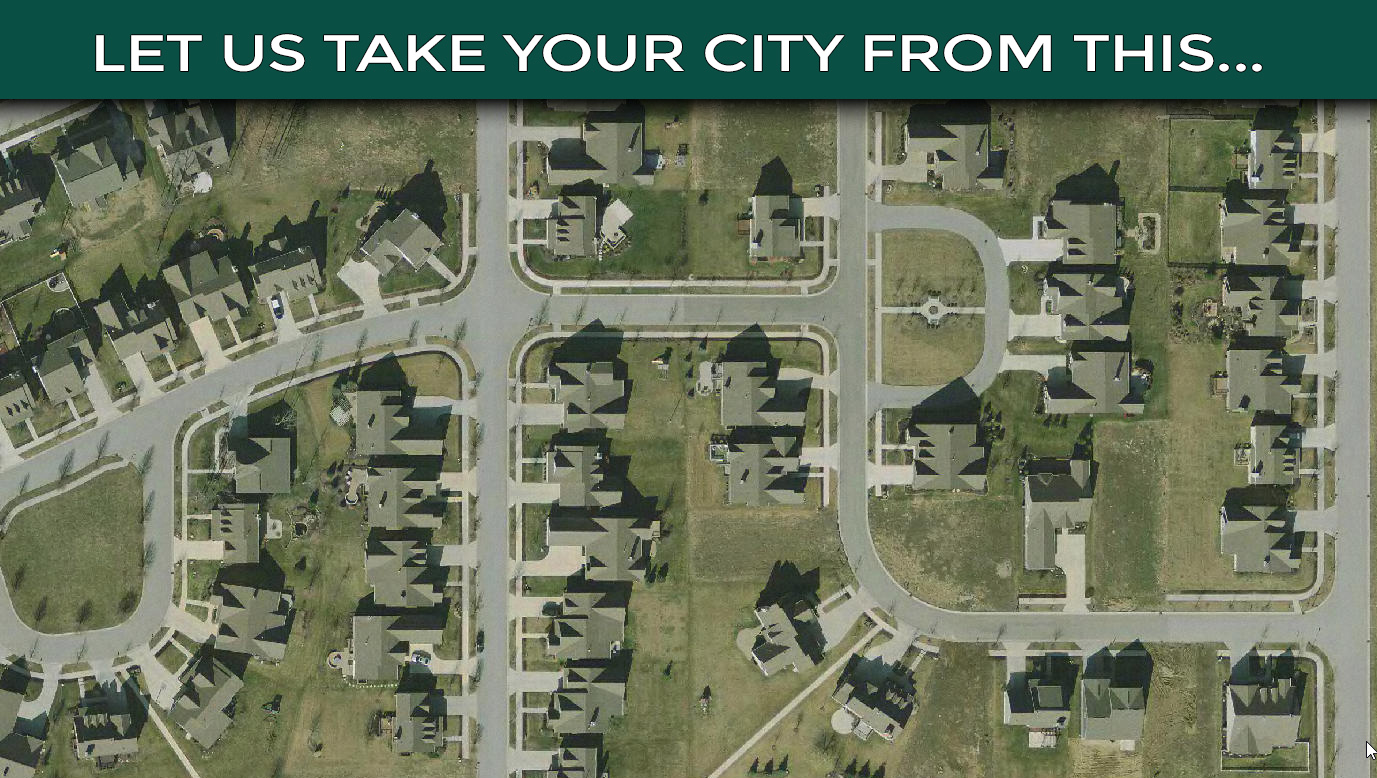
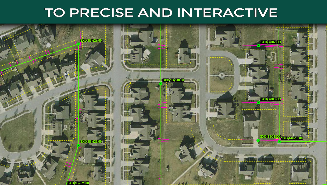
SAVE TIME AND MONEY WITH INTERACTIVE WEB MAPPING AND DATA COLLECTION
Step 1: Data Collection
The first step of converting antiquated data, is to allow our experienced team of surveyors and geo-spatial mappers to capture the structures, valves, or information needed. Using state of the art equipment, we can capture pinpoint accurate locations to within a couple centimeters eliminating man hours in the field searching for assets and the cost associated.
Step 2: Data Interpretation
After all data in the field has been collected and inspected for accuracy, we bring your information into industry leading ESRI software allowing us to adjust and edit as needed. If you have existing databases or information types, we can match your coordinate reference and table set up.
Step 3: Data Export
The last piece of the process is to export the captured and adjusted data to an online platform allowing access to anyone with an internet connection. If security is important to your administration, you can rest assured knowing that our ESRI online platform has been used and trusted by entities as large as the US Department of Defense. User access can be restricted to certain data set and maps, while allowing other users to see public, less guarded information.
How does this process benefit your city?
- Data Consolidation: All of your utility information in one quickly accessible place
- Save field time searching for assets
- Responsive Design allows for use on computers, tablets, and phones
- Advanced search features allow for immediate breakdowns and reporting
- Never worry if your data is up-to-date
- Share active map views to contractors, engineers and project managers instantly
- Ease project planning and engineering projects


